- Apr 08, 2025
-
Understanding Land Aadhaar: A Step Towards Transparent Land Management
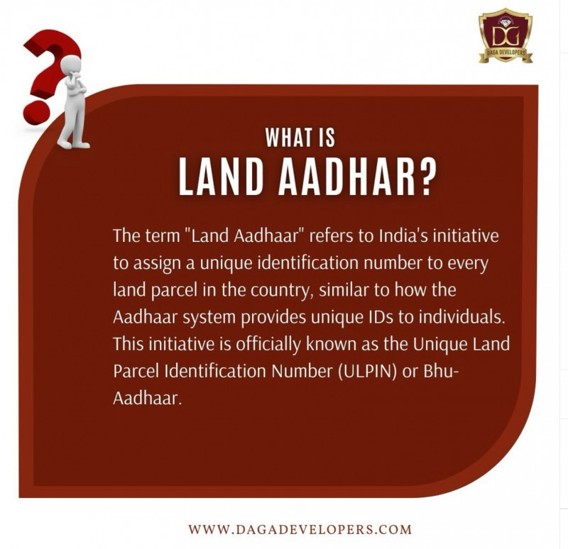
Land ownership in India has long been riddled with disputes, duplication, and outdated records. But with the introduction of Land Aadhaar, officially known as the Unique Land Parcel Identification Number (ULPIN), the government is set to revolutionize how land is recorded and managed.
This 14-digit alphanumeric code is like the Aadhaar of land—it gives each parcel its own unique ID based on geo-coordinates. It’s secure, tamper-proof, and brings a much-needed layer of clarity and transparency to land transactions and property records.
🌍 What is Land Aadhaar (ULPIN)?
Land Aadhaar is a unique identification number assigned to every land parcel across India. Generated using the longitude and latitude of a property, this 14-digit number ensures precise mapping and identification of land, helping link all property records to one reliable source.
This initiative is part of the Digital India Land Records Modernization Programme (DILRMP), aimed at creating a seamless digital ecosystem for land governance.
📌 Key Features of Land Aadhaar
Here’s what makes Land Aadhaar (ULPIN) a game-changer in land administration:
🆔 Standardized Identification
Every land parcel gets a single, unique ID, eliminating duplication and confusion across departments and states.
🌐 Geo-Referencing Integration
ULPINs are created based on satellite-generated coordinates, giving exact map locations for each piece of land.
💻 Digital System Compatibility
ULPIN supports the creation of an Integrated Land Information Management System (ILIMS), connecting it with Patta, Chitta, GIS maps, and registration databases.
⚖️ Conflict Resolution
Clear boundary mapping drastically reduces disputes, encroachments, and unauthorized occupation.
⚡ Enhanced Efficiency
Land transactions, taxes, registration, and ownership transfers become faster, more accurate, and easy to trace.
📍 Land Aadhaar in Tamil Nadu: Leading the Change
Tamil Nadu is one of the early adopters of ULPIN and has made significant progress in digitizing and integrating land records through its own platforms like Patta Chitta, TNREGINET, and Tamil Nilam.
✅ Steps Taken by Tamil Nadu:
- Digitization of legacy land records
- Geo-tagging land parcels using satellite technology
- Integration of Patta Chitta with Land Aadhaar
- Streamlining ownership records for easier citizen access
🔑 Benefits of Land Aadhaar for Tamil Nadu Residents
Whether you're a farmer, homeowner, or investor, here’s how Land Aadhaar helps you:
📄 Clarity in Land Details
No more second-guessing property boundaries. Landowners can now access verified, real-time details of their land parcels.
🏛️ Legal and Financial Security
With accurate records linked to Aadhaar and geo-mapping, fraud and encroachments are reduced drastically.
💼 Faster Transactions
Buying, selling, leasing, or inheriting land is now smoother, with all data available digitally.
🌾 Access to Government Schemes
Correct and verified ownership helps in faster approval of agricultural subsidies, crop insurance, and other welfare benefits.
🏙️ Impact Areas in Tamil Nadu
🌾 Agricultural Zones (e.g., Cauvery Delta)
ULPIN ensures fair distribution of resources like irrigation water, avoiding boundary disputes among farmers.
🌆 Urban Centers (e.g., Chennai, Coimbatore)
Facilitates urban planning, property tax collection, and legal documentation for multi-owner flats and commercial properties.
🏞️ Ecologically Sensitive Areas (e.g., Ooty, Kodaikanal)
Prevents illegal land conversion and encroachments through precise mapping and conservation-friendly planning.
🔗 Integration with Patta Chitta System
In Tamil Nadu, Patta and Chitta are the two core land records documents.
- Patta: Proves ownership and includes survey number, name, and extent.
- Chitta: Categorizes land as wet (nanjai) or dry (punjai) and includes revenue details.
The integration of ULPIN with Patta Chitta ensures:
✔️ No duplication of ownership
✔️ Real-time updates during sale or inheritance
✔️ Land parcel accuracy with satellite-confirmed data
✔️ Single-window access to land records and maps
🌐 Current Implementation Across India
As of now, Land Aadhaar (ULPIN) has been rolled out in 29 states and UTs, including:
- Tamil Nadu
- Maharashtra
- Uttar Pradesh
- Karnataka
- Telangana
- Odisha
- And more
This nationwide adoption shows the seriousness with which the government is pushing for a modern land governance system.
📈 Benefits of Land Aadhaar at a National Level
🤖 The Role of Technology in Land Aadhaar
Land Aadhaar is powered by:
- GIS (Geographic Information System)
- Remote Sensing & Satellite Imagery
- Drone Surveys
- Integrated MIS Platforms
This combination helps in creating an immutable, visual, and accurate representation of land data that can be accessed in real time.
🔮 What’s Next for Land Aadhaar?
With its growing implementation, here’s what to expect in the near future:
- A national-level land database accessible to all departments
- Property cards with ULPIN for each landowner
- Integration with banking systems, making it easier to use land as collateral
- Use in disaster management, urban planning, and environmental monitoring
📝 Conclusion: A New Era of Land Governance
Land Aadhaar or ULPIN isn’t just another government program—it’s a landmark step toward simplifying, securing, and digitizing India’s land ownership structure.
In Tamil Nadu, the integration of Land Aadhaar with systems like Patta Chitta and Tamil Nilam shows how digital innovation can solve age-old problems in land administration.
Whether you’re a landowner, investor, or a policymaker, Land Aadhaar will help ensure that land information is clear, current, and credible—available at your fingertips.
✅ Quick Recap: Why Land Aadhaar Matters
- Unique ID for each land parcel
- Geo-tagged precision and real-time accuracy
- Easy access to land records for citizens
- Boosts trust, efficiency, and transparency
- Paves the way for faster transactions and better dispute management


Comments :
Currently, there are no comments in this post. Be the first person to comment on this post.